Organizations today operate in environments shaped by growing complexity. Cities are expanding, infrastructure is aging, supply chains are more sensitive to disruption, and climate-related events are becoming harder to ignore.
In this setting, decisions based only on spreadsheets, reports, or isolated datasets are often not enough. Leaders need a clear spatial understanding of where assets are located, where risks are emerging, and how plans will affect real places and communities.
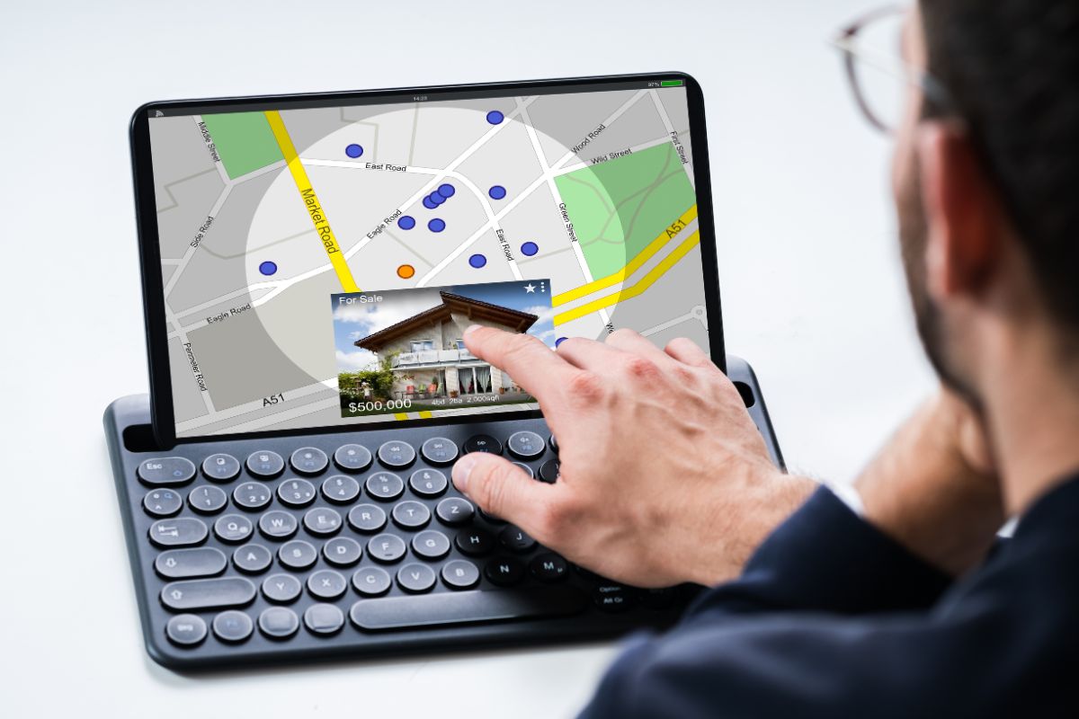
Geographic Information System mapping, commonly known as GIS mapping, brings location-based data into one visual and analytical framework.
It helps decision-makers see patterns, relationships, and gaps that may not be obvious in traditional data formats.
Many organizations use GIS consulting services to build accurate mapping systems, improve spatial analysis, and turn complex location data into practical strategies for risk reduction, long-term planning, and asset performance.
Understanding GIS Mapping
GIS mapping is the process of collecting, managing, analyzing, and displaying data connected to geographic locations.

It combines maps with layers of information, such as roads, buildings, land use, utilities, flood zones, population density, environmental conditions, and asset records.
Unlike a basic digital map, a GIS platform allows users to ask deeper questions. For example, a city can identify which roads are most vulnerable to flooding.
A utility provider can locate underground assets near planned construction. A logistics company can analyze routes affected by weather, traffic, or restricted access.
GIS mapping is valuable because it connects data to place. This spatial context supports better decisions across public agencies, private companies, engineering teams, environmental organizations, and infrastructure managers.
GIS Mapping in Risk Management
Risk is rarely random. It often has a location, a pattern, and a set of contributing factors. GIS mapping helps organizations understand these connections by showing where threats are most likely to occur and what may be affected.
Identifying High-Risk Areas
GIS tools can combine multiple datasets to reveal areas exposed to hazards. These may include:
- Flood-prone zones
- Wildfire risk areas
- Landslide or erosion zones
- High-traffic accident corridors
- Aging infrastructure clusters
- Areas with limited emergency access
- Sites near environmental hazards
By visualizing these risks, organizations can prioritize action. Instead of reacting after damage occurs, they can plan preventive measures in advance.
Supporting Emergency Preparedness
During emergencies, time and clarity are critical. GIS mapping helps emergency teams understand the location of incidents, available resources, vulnerable populations, evacuation routes, and service coverage. It can also support real-time coordination when conditions change quickly.
For example, during a storm event, GIS maps can show blocked roads, damaged utilities, shelter locations, and areas with power outages. This information helps teams deploy resources more efficiently and communicate more clearly with the public.
Reducing Operational Uncertainty
Risk management also applies to everyday operations. Businesses and public agencies can use GIS to assess site suitability, monitor field conditions, and identify potential disruptions.
This reduces uncertainty by making risks visible and measurable before they become costly problems.
GIS Mapping in Strategic Planning
Planning depends on understanding both current conditions and future needs. GIS mapping gives planners a practical way to compare options, test scenarios, and evaluate impacts across a defined area.
Improving Land Use and Urban Planning
Urban planners use GIS to study how land is currently used and how it may need to change. Mapping tools can show residential areas, commercial zones, transportation networks, green spaces, public facilities, and development constraints.
This helps planners answer important questions, such as:
- Where should new housing be located?
- Which areas need better access to public transport?
- How will development affect drainage, traffic, or open space?
- Which neighborhoods are underserved by essential services?
With GIS, planning becomes more transparent and evidence-based. Stakeholders can view maps, understand trade-offs, and participate in discussions with a shared visual reference.
Supporting Infrastructure Planning
Infrastructure projects require careful coordination. Roads, bridges, pipelines, power lines, drainage systems, and telecommunications networks all occupy physical space. GIS mapping helps project teams understand these relationships before construction begins.
By overlaying proposed designs with existing assets, environmental constraints, property boundaries, and community features, organizations can reduce conflicts and improve project outcomes.
This can lower costs, avoid delays, and support better communication between engineers, planners, contractors, and regulators.
Scenario Analysis and Forecasting
GIS also supports future-focused planning. Organizations can model population growth, climate exposure, service demand, traffic patterns, or infrastructure capacity.
These models help decision-makers compare scenarios and choose strategies that are more resilient over time.
For example, a local government may use GIS to evaluate how future rainfall patterns could affect stormwater systems.
A transportation agency may model how new development will influence road congestion. These insights make long-term planning more practical and defensible.

GIS Mapping in Asset Management
Asset management is about knowing what assets exist, where they are, what condition they are in, and how they should be maintained or replaced. GIS mapping strengthens this process by connecting asset records to accurate locations.
Creating a Reliable Asset Inventory
Many organizations manage large networks of physical assets, including water mains, valves, signs, streetlights, buildings, vehicles, meters, and electrical equipment. Without reliable mapping, these assets can be difficult to locate, inspect, or maintain.
GIS provides a central location-based inventory. Field teams can update records, attach photos, add inspection notes, and report conditions directly from the site. This improves data accuracy and reduces reliance on outdated paper records or disconnected databases.
Prioritizing Maintenance and Repairs
Not all assets require attention at the same time. GIS helps managers prioritize maintenance by showing the relationship between asset condition, location, service importance, and risk exposure.
For example, a water utility may identify pipes that are old, located under major roads, and near critical facilities. These assets may receive higher priority because failure would have a greater impact. This approach helps organizations use limited budgets more effectively.
Extending Asset Life
Preventive maintenance is often less expensive than emergency repair. GIS mapping supports preventive strategies by helping teams schedule inspections, identify recurring issues, and track work history. Over time, this creates a stronger understanding of asset performance.
When asset data is mapped and analyzed, organizations can make better decisions about repair, replacement, and investment. This leads to longer asset life, improved service reliability, and stronger financial planning.
Benefits of GIS Mapping Across Organizations
GIS mapping offers value across departments because it turns complex information into clear visual intelligence. Its benefits extend beyond technical teams and support executive decision-making, public communication, and operational performance.
Key benefits include:
- Better visibility of risks, assets, and service areas
- More accurate planning and forecasting
- Stronger coordination between teams
- Faster response during incidents
- Improved regulatory reporting
- Better use of budgets and resources
- Clearer communication with stakeholders
- Reduced duplication of data and effort
Because GIS integrates many types of information, it often becomes a shared platform for decision-making. This helps break down silos and encourages departments to work from the same reliable data.
The Importance of Data Quality
GIS mapping is only as strong as the data behind it. Inaccurate, outdated, or incomplete information can lead to poor decisions. For this reason, organizations should treat data management as a core part of their GIS strategy.
High-quality GIS data should be accurate, consistent, current, and easy to maintain. Clear processes are needed for collecting field data, updating records, verifying locations, and managing access. Staff training is also important, as users must understand how to interpret maps and apply spatial insights correctly.
A successful GIS program is not just about software. It requires governance, standards, skilled people, and a commitment to continuous improvement.
Future Trends in GIS Mapping
GIS mapping continues to evolve as technology advances. Cloud platforms, mobile data collection, remote sensing, artificial intelligence, and real-time dashboards are making spatial information more accessible and powerful.
Organizations can now collect data from drones, satellites, sensors, vehicles, and field crews. They can monitor changing conditions, automate analysis, and share interactive maps with decision-makers or the public.
These capabilities are especially important for climate resilience, smart cities, infrastructure modernization, and environmental management.
As GIS becomes more integrated with business systems, its role will continue to expand. It will not only show where things are but also help predict what may happen next.
Conclusion
GIS mapping plays a critical role in modern risk management, planning, and asset management. It helps organizations understand location-based challenges, identify priorities, and make decisions supported by clear spatial evidence.
From emergency preparedness to infrastructure investment, GIS provides the insight needed to act with confidence. It brings together data, geography, and analysis in a way that improves communication, reduces uncertainty, and supports long-term resilience.
For organizations responsible for people, property, infrastructure, or natural resources, GIS mapping is no longer just a technical tool. It is a strategic foundation for smarter decisions and better outcomes.